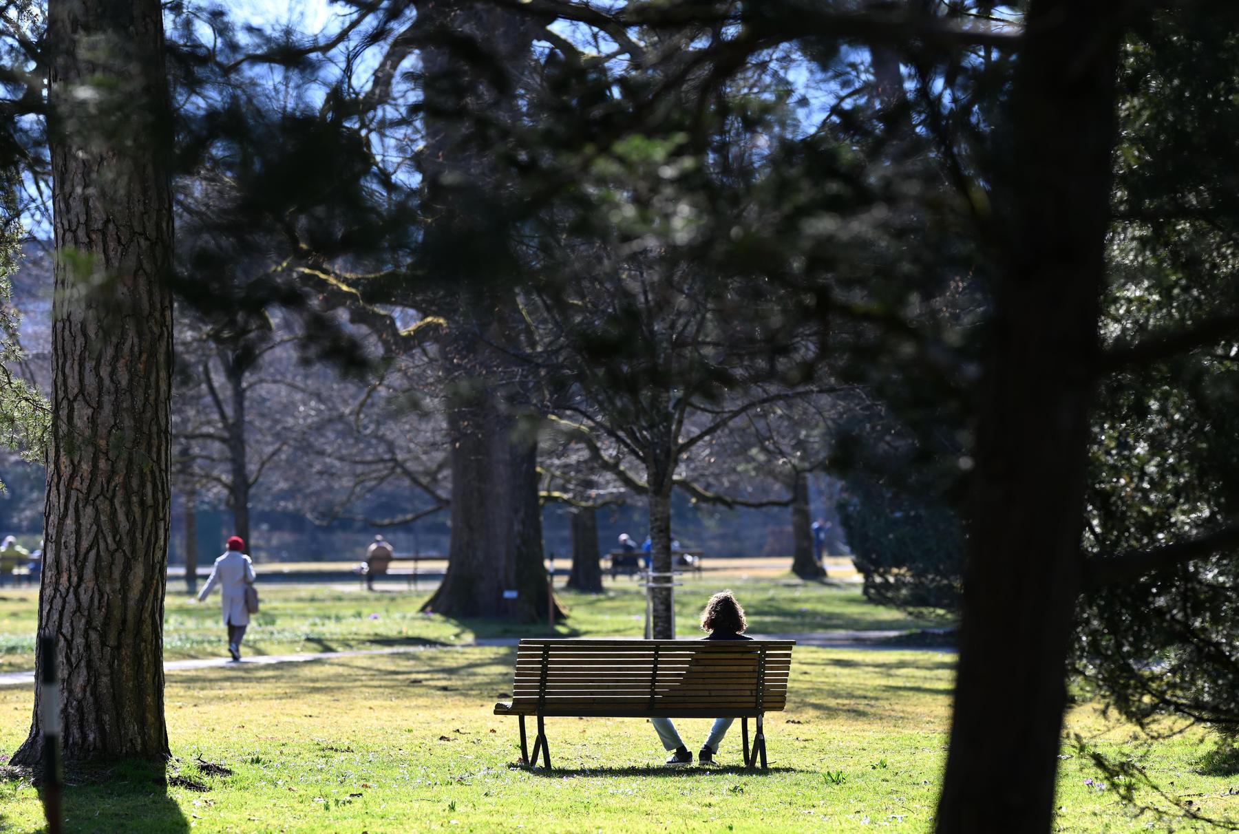
Further spring -like weather in Austria with regional showers – diepresse.com

It is cold in the morning, but the temperatures rise to around 20 degrees during the day. On Friday, the clouds usually predominate again.
The weather will remain spring -like in the coming week. Regionally, it can rain something, forecast the meteorologists from Geosphere Austria on Sunday. The early temperatures are a bit fresh, but the values then rise to around 20 degrees during the day.
On Monday, a fault zone crosses Austria from the southwest and brings clouds and temporarily rain. In the first half of the day, the precipitation builds up on the alpine south side. Later, the rain showers also shift to the north, but overall decreased. The snow limit is between 1,500 and 2,000 meters above sea level. The wind comes from southern directions until the afternoon and, especially in the foist valleys on the alpine north side, is still lively. Later, however, the wind decreases and increasingly turns to west. The early temperatures amount to minus 2 to plus 8 degrees, the daily maximum temperatures to 10 to 21 degrees.
During the day, sun and clouds alternate on Tuesday. It is the sunniest in the eastern half of Austria. Especially in the western half, there are always individual showers during the day. The snow limit is between 1,700 and 2,000 meters above sea level. The wind blows weak to moderate, mostly from the southwest. In the morning the temperatures rise to minus 3 to plus 5 degrees, during the day to 11 to 17 degrees.
Wednesday rain in the west
On Wednesday, the clouds predominate in the west and southwest, and here it rains quite often. Everywhere else, the sun seems at least temporarily, but at times cloud fields also move across the sky, and in the afternoon the gunner tendency generally increases something. The snow border in the west temporarily drops around 1,000 meters, otherwise it is between 1,400 and 1,800 meters above sea level. In the east and on the edge of the Alpine edge, moderately to lively south wind blows. The early temperatures reach 1 to 7 degrees, the daily maximum temperatures from west to east between 9 and 20 degrees.
With south -western tower and weak low pressure influence, cloud fields continue to move across the sky on Thursday, and the sun is only temporary. At first there is still some rain possible, especially in the northeast, during the day there is especially in the mountains along the main Alpine ridge to the Alpine edge and south of it. The snowfall limit reaches 1,200 to 1,600 meters above sea level. In the mountains as well as in the south and southeast, lively south to southwest wind blows. The early temperatures rise to 1 to 7 degrees, the daily maximum temperatures to 10 to 18 degrees.
Feature front on Friday evening
On Friday, the clouds predominate in the west and southwest, and it rains on the south of the alpine south right from the start. Everywhere else it remains free of rain, only gradually grabs the foist with a collapse of the hair dryer to the alpine north side and in the evening into the east. In general, the sun seems at least temporarily in the north and east. The wind blows quite lively in hairline strings, on the Alpine edge and in the east, in exposed layers also strong to stormy from the south. On Friday, the early temperatures reach minus 1 to plus 9 degrees depending on the wind, the daily maximum temperatures 11 to 21 degrees. (APA)


